Hiking · Trail walks
Hikes, kept from trailhead to summit
Put the phone in your pack and walk. forWalking records the trail the whole way, pins your photos at the viewpoints, and gives you the hike back as a route, a timeline and a story.


forWalking: Tours Map Photos iPhone and Android
In your pack
Start at the trailhead. Forget about it.
The recorder runs in the phone itself, so a hike keeps recording with the screen locked, for hours, while you look at the mountain instead of the app. If the phone closes the app along the way, forWalking picks the walk back up with everything that was saved.
- A readiness check before you go: location, precise location, notifications and, on Android, battery optimisation.
- Breaks on the timeline: lunch at the hut shows as a pause, not as slow walking.
- The drive to the trailhead kept out of the hike, if you started recording early.
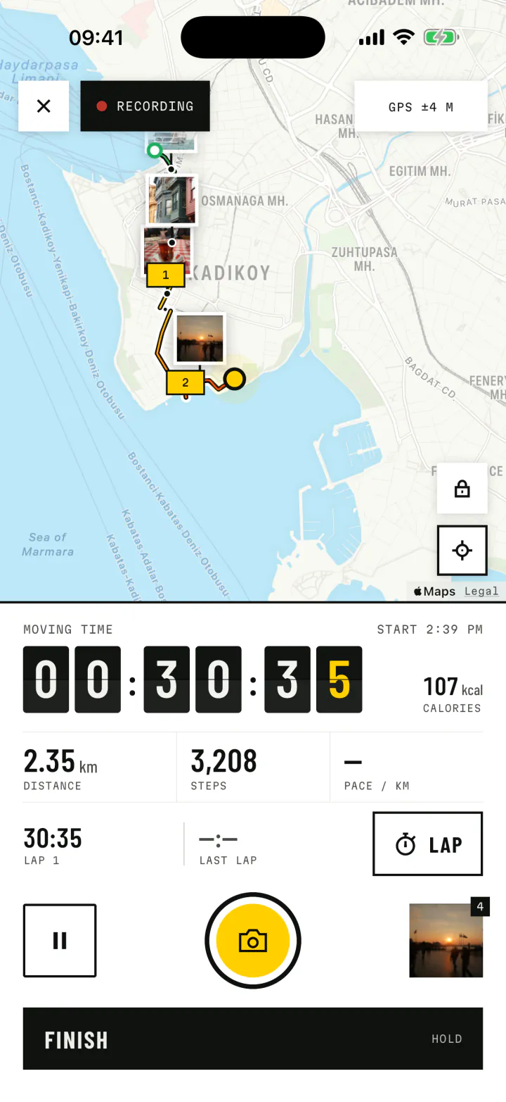
Viewpoints
Every view, where you saw it
Each photo is pinned to the spot where you took it, so the waterfall, the ridge and the summit cairn sit exactly where they belong on your trail. Add a caption, and a note for the day, while you rest.
Later, the replay climbs the trail again while each photo rises from its spot, and a video of the hike is a few taps away.
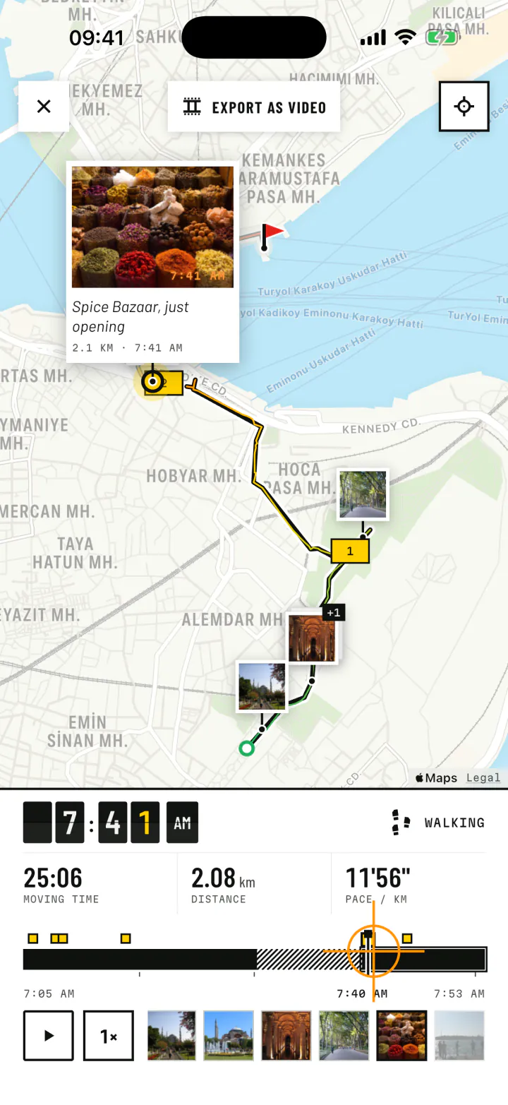
Early starts
Dawn hikes look different
Each hike is marked with the sky it began under: dawn, day, dusk or night, from the real sunrise and sunset where you were. A summit at sunrise stays a sunrise summit in your Journal.
- DawnOut with the sunrise
- DayIn full daylight
- DuskInto the sunset
- NightAfter dark
After the hike
The trail, in numbers and on the map
- Distance
- 14.6km
- Moving time
- 4:12
- Steps
- 21,480
- Paused
- 48:00
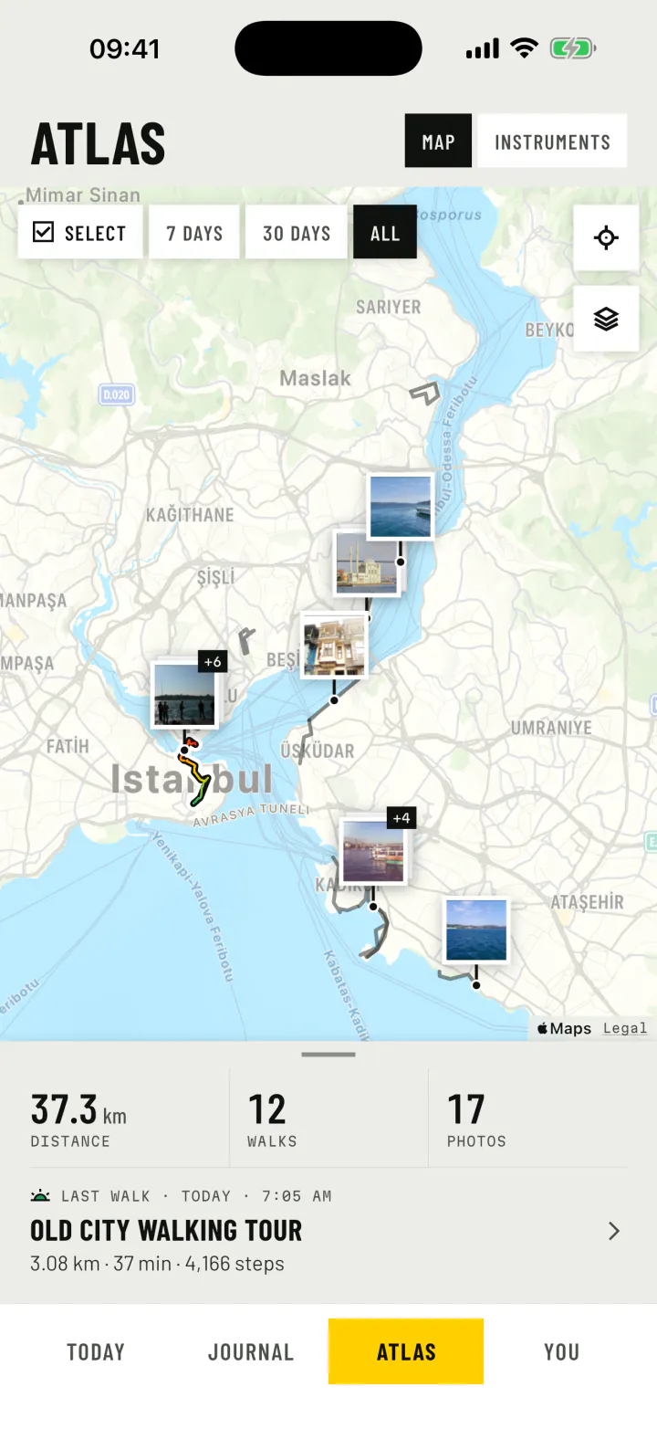
A sample hike, as the trail report would show it. Split by the kilometre, with your fastest and slowest stretches clear at a glance. Every hike also joins the Atlas, so your season of trails lies on one map.
- GPX export for Komoot, Strava, Google My Maps and watches.
- KML export with the exact line and photo spots, for Google Earth.
- Directions to the photo points, to send the route to the next group.
Battery on long days
Make the battery last the trail
Lock the screen
The screen uses far more power than recording. forWalking does not need it on.
Exempt the app on Android
Allow forWalking in battery settings, so the phone does not stop it to save power.
Carry a power bank
On a full day in the hills, a small battery pack is cheap peace of mind.