Walking tours · City walks
The walking tour app that keeps the tour
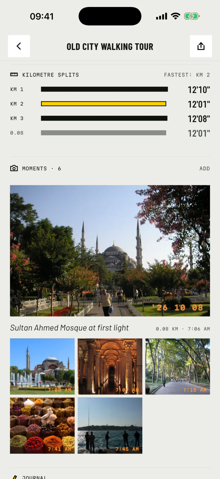
Walk a city at your own pace, phone in your pocket. forWalking records the route, pins a photo at every stop and hands you the whole tour back, on the map, when you sit down for coffee.


forWalking: Tours Map Photos iPhone and Android
On the street
Eyes on the city, not on the screen
A self-guided walking tour is the best way to meet a city: you stop when something catches your eye, take the side street, sit on the steps of a mosque. The last thing you want is an app that needs watching.
Start the walk once and put the phone away. forWalking records with the screen locked, between photos, through a tram ride or a ferry crossing. Back at the hotel, the route is complete.
- Background recording that keeps going with the screen off.
- Rides kept apart: the tram, the taxi, the ferry stay on the map but never count as walking.
- A pause for lunch that shows on the timeline, so your moving time stays honest.
Every stop
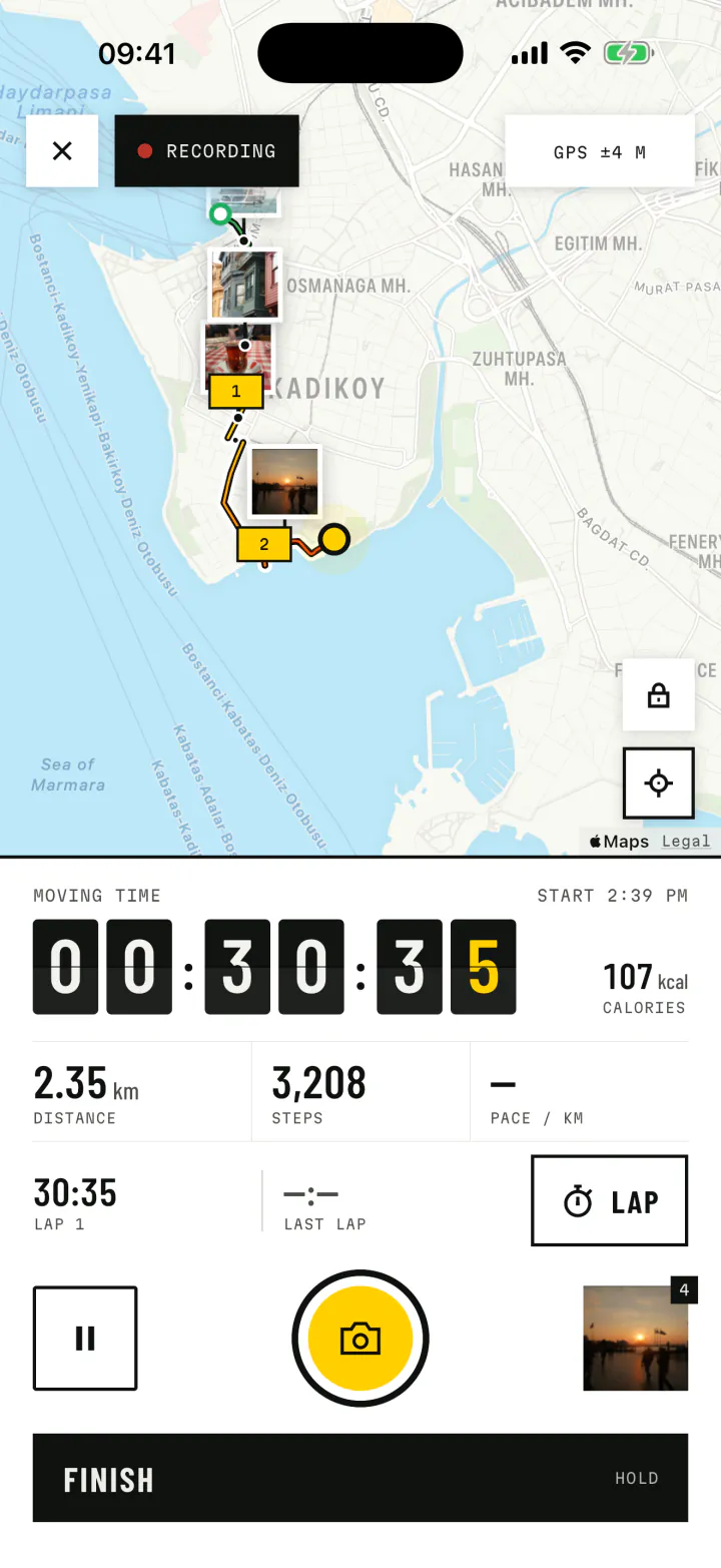
Each stop, pinned where you stood
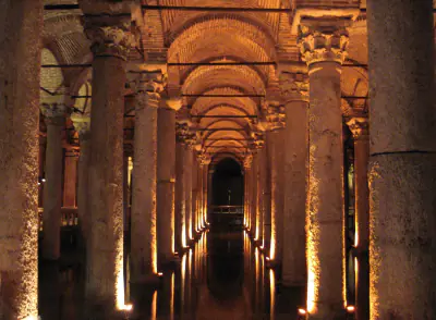
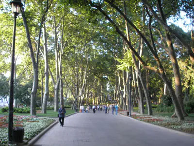
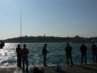
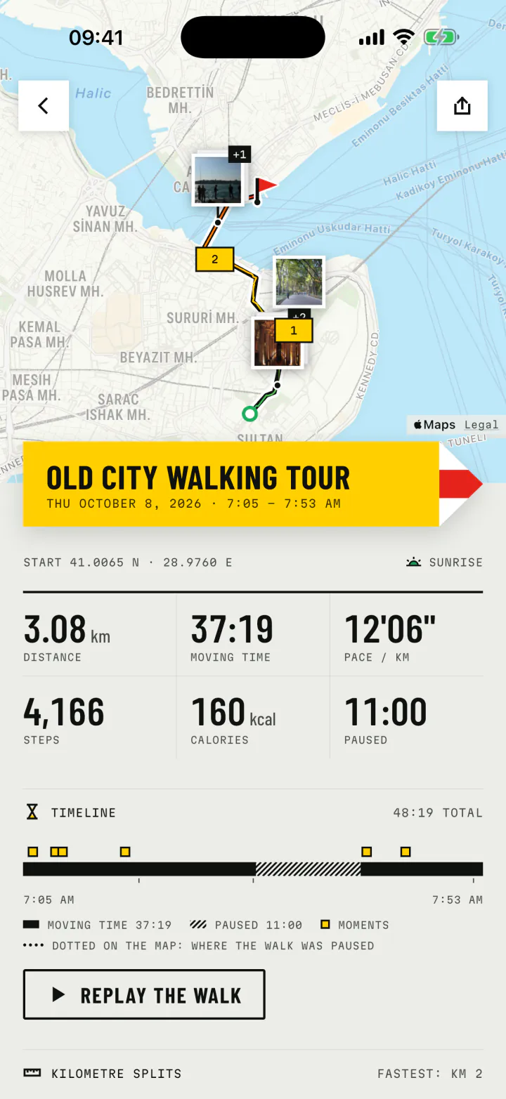
The photos you take become prints on the map, at the spot where you took them, stamped with the time. A morning in Istanbul's old city, as the app keeps it:


Walking
- Moving time
- 37:19
- Distance
- 3.08km
- Steps
- 4,166
Photos from Wikimedia Commons (public domain and CC0): Gryffindor, Mustang Joe, Gun Powder Ma, Christophe Schindler, Briain. Credits
After the tour
The tour, told back to you
Every walk ends as a trail report: the route, the distance, the moving time, the steps, and a timeline with each stop in order. Give it a name and a note while the day is fresh. Weeks later it is still there, in the Journal and on the Atlas, next to every other walk of the trip.
- Captions on each photo, so you remember what the place was called.
- A replay of the whole tour, and a video of it to send home.
- Your trip on one map: every walk of the holiday together in the Atlas.
Plan it, then walk it
Good self-guided tours have a shape
Pick a theme, five to eight stops, a sensible order and a start time that suits the light. Our guide walks you through it.
3 to 6 km is plenty
With stops, most city walks of that length fill a happy half day.
Start early
Squares are empty, light is soft and the queues have not formed yet.
End where you can rest
A pier, a café, a park bench. Finish near a tram or ferry home.
Pass it on
Send the tour to someone who is going next
Friends heading to the same city? Share your photo stops as Google Maps or Apple Maps links, or as walking directions through every stop in order. They walk your tour with your photos as their signposts.
Shared from forWalking
Old City walking tour 6 photo stops, in order, with map links
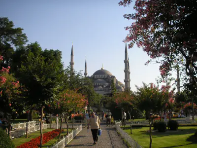
- 1Sultan Ahmed Mosque at first lightmaps.google.com · 41.00706, 28.97662
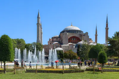
- 2Hagia Sophia before the crowdsmaps.google.com · 41.00801, 28.97830
- 3Down in the Basilica Cisternmaps.google.com · 41.00850, 28.97860
- 4Gülhane Parkmaps.google.com · 41.01280, 28.98062
- 5Spice Bazaar, just openingmaps.google.com · 41.01745, 28.97229
- 6Fishing lines on the Galata Bridgemaps.google.com · 41.02000, 28.97300
Directions on footGPXKMLApple Maps