Walking guide · Shareable routes
Turn a walk into a guide anyone can follow
You know the best way through your neighbourhood, the bakery worth the detour, the bench with the view. Walk it once with forWalking and it becomes a guide: every stop a photo, every photo a place on the map.


forWalking: Tours Map Photos iPhone and Android
Shared from forWalking
Old City walking tour 6 photo stops, in order, with map links
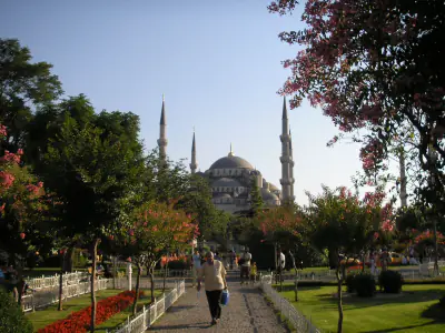
- 1Sultan Ahmed Mosque at first lightmaps.google.com · 41.00706, 28.97662
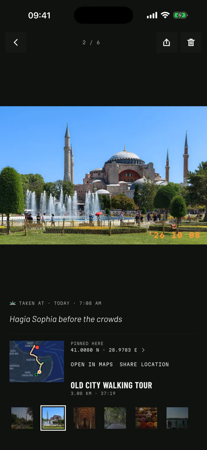
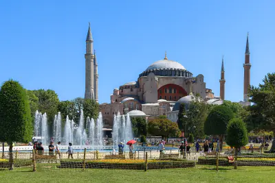
- 2Hagia Sophia before the crowdsmaps.google.com · 41.00801, 28.97830
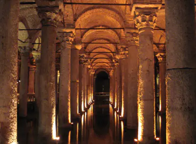
- 3Down in the Basilica Cisternmaps.google.com · 41.00850, 28.97860
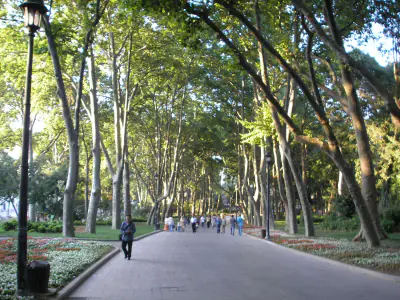
- 4Gülhane Parkmaps.google.com · 41.01280, 28.98062
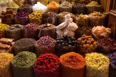
- 5Spice Bazaar, just openingmaps.google.com · 41.01745, 28.97229
- 6Fishing lines on the Galata Bridgemaps.google.com · 41.02000, 28.97300
Directions on footGPXKMLApple Maps
How it works
Walk it once. Share it for good.
Walk the route
Record the walk you want to share, at your own pace. Pauses and rides are kept apart from the walking.
Photograph each stop
A photo at every place that matters. Each one is pinned where you stood. Add a caption: what it is, why it is worth it.
Send the guide
Share the stops as map links, or as walking directions through all of them in order. The person you send it to needs no app.
Map links
Signposts that open in any phone's maps
Every photo knows its exact coordinates, so every stop can be sent as a link. Tap it and Google Maps or Apple Maps opens on the spot. Send one place, or all of them in one message, numbered in the order you walked them.
- A single place with its coordinates and a map link.
- Directions on foot from the first photo point to the last, through every stop, in Google Maps.
- Apple Maps links for the iPhones you send them to.
For other apps
The exact line, in GPX and KML
For people who plan with their own tools, export the walk as a file. GPX carries the track and the photo points into Komoot, Strava, Google My Maps and many watches. KML brings the exact line and the photo spots into Google Earth and My Maps.
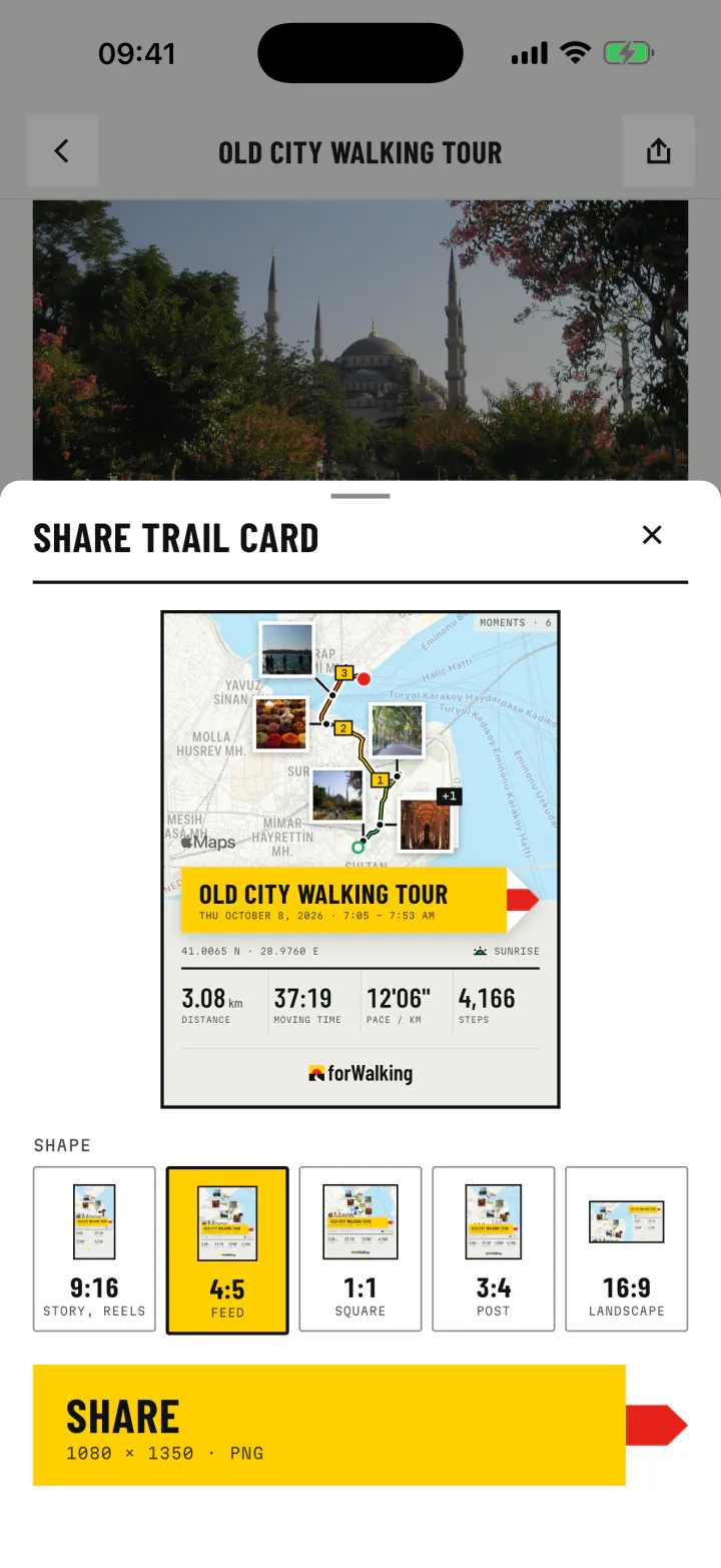
And for everyone else, a share card puts the whole walk in one picture, and a video plays it from start to finish.
- 9:16Story
- 4:5Feed
- 1:1Square
- 3:4Post
- 16:9Landscape
Who makes guides
A guide is a gift
Some of the walks people share with forWalking:
Friends visiting your city
Your favourite morning loop, with the coffee stop and the view, ready before they land.
Local guides and hosts
Walk the route the day before, then send guests the stops with photos so they know what to look for.
Groups and clubs
The route for Saturday's walk, with the meeting point as stop one and the café as the last.
Photo spots
The exact place to stand for that shot of the bridge, for anyone who wants it.
Family walks
A walk the grandparents loved, kept with its photos and its way, to walk again together.
Events
The way from the station to the venue, step by step, for guests who do not know the area.
An example
Istanbul's old city, in six stops
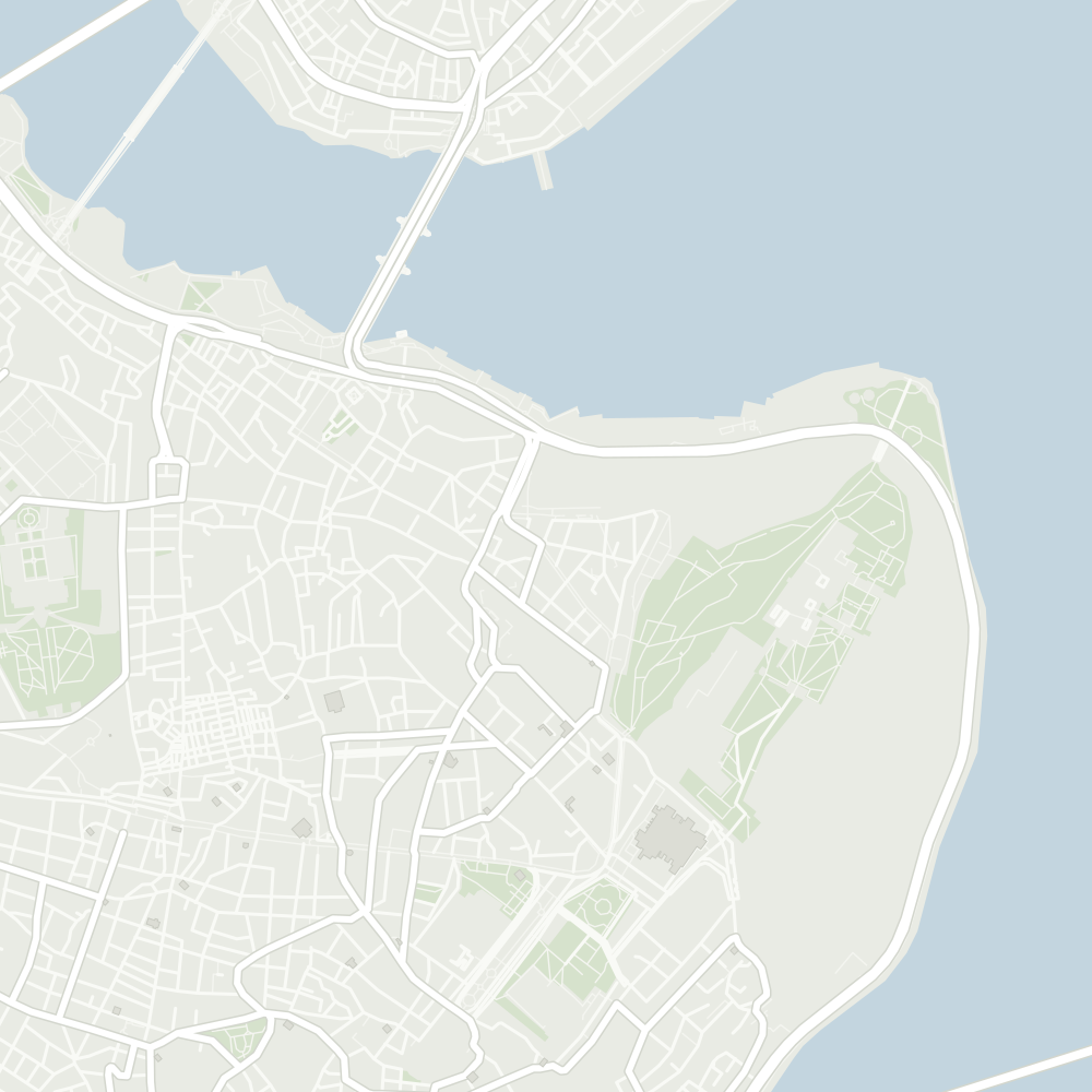
One of our own walks, from Sultanahmet to the Galata Bridge. Scrub the timeline, then read the full guide with tips for every stop.
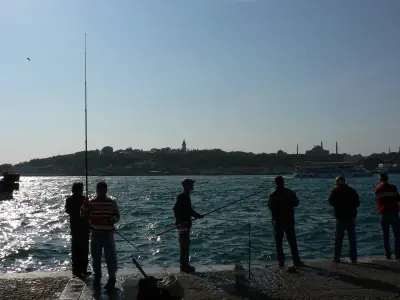
Walking
- Moving time
- 37:19
- Distance
- 3.08km
- Steps
- 4,166
Photos from Wikimedia Commons (public domain and CC0): Gryffindor, Mustang Joe, Gun Powder Ma, Christophe Schindler, Briain. Credits